Zamboanga del Sur (Cebuano: Habagatang Zamboanga; Subanen: S’helatan Sembwangan/Sembwangan dapit Shelatan; Chavacano: Zamboanga del Sur; Tagalog: Timog Zamboanga) is a province in the Philippines located in the Zamboanga Peninsula region in Mindanao.
The province borders Zamboanga del Norte to the north, Zamboanga Sibugay to the west, Misamis Occidental to the northeast, and Lanao del Norte to the east. To the south is the Moro Gulf.
Zamboanga del Sur covers a total area of 4,499.46 square kilometers (1,737.25 sq/mi) occupying the southern section of the Zamboanga peninsula in western Mindanao. It is located at longitude 122° 30″ and latitude 7° 15″ north. When Zamboanga City is included for statistical purposes, the province’s land area is 591,416 hectares (5,914.16 square kilometers). The province is bordered on the north by Zamboanga del Norte, west by Zamboanga Sibugay, northeast by Misamis Occidental, east by Lanao del Norte, southeast by the Illana Bay, and south by the Moro Gulf.
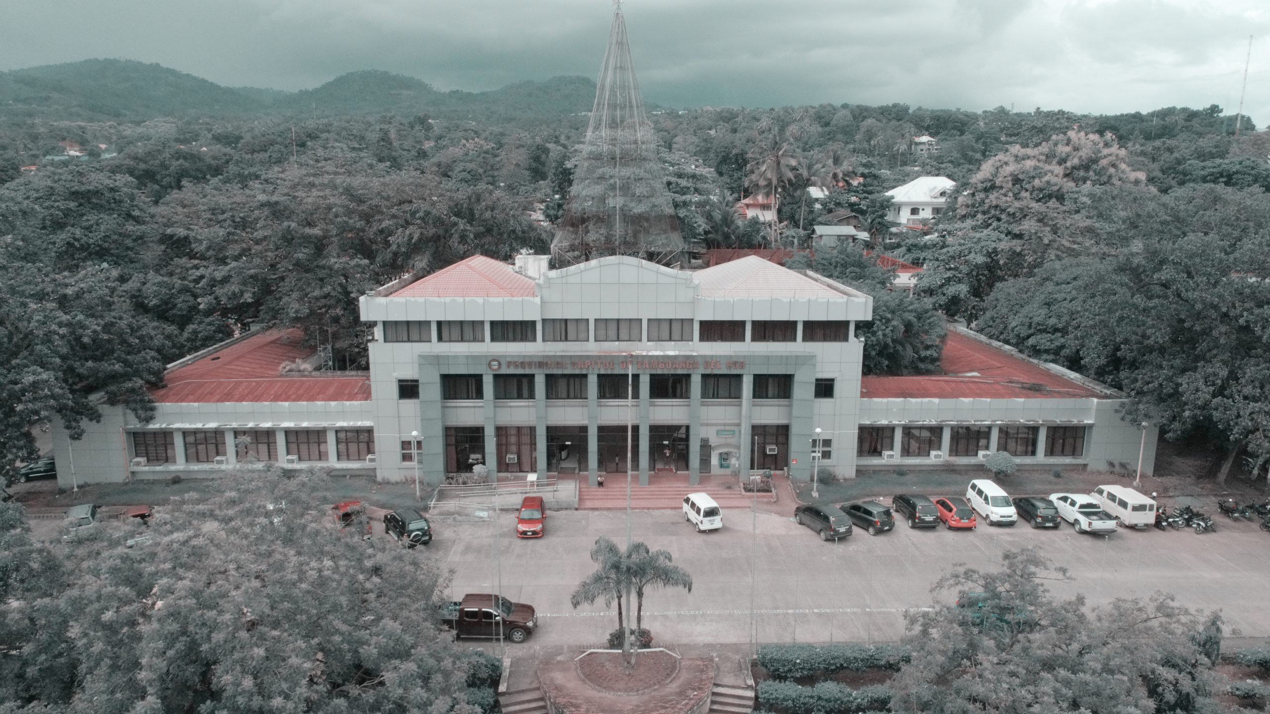
On June 6, 1952, through Republic Act 711, Zamboanga del Sur was carved out from the former Zamboanga province that encompassed the entire peninsula in southwestern Mindanao.[16] As the 52nd province of the Philippines, it originally consisted of 11 towns, which were later expanded into 42 municipalities and one city, Pagadian, its capital.
This happened in the midst of the postwar period, a time when Mindanao was peaceful and increasingly progressive. Ethnic tensions were minimal, and there was essentially no presence of secessionists groups in Mindanao. Tensions in Mindanao mostly began to rise only as the 1970s approached, as a result of social and economic tensions that affected the whole country.


